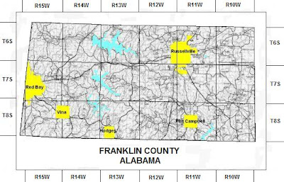
The PLSS, or Public Land Survey System is a way of subdividing and describing land in the United States. This map is used to divide public domain lands and separates most of the United Stated into townships. The example above is the PLSS map of Franklin County, Alabama.
No comments:
Post a Comment